This course engages students in the study of global issues confronting nations of the eastern hemisphere. A global issue is an unresolved question of policy that is international in scope. Although these issues might arise in a particular nation or region, they are considered global because they have worldwide implications. By studying these issues, students discover that people of the world are interdependent and that decisions made in one part of the world often impact people living far away.
Each unit of study in this course revolves around a global theme. From year to year the themes remain the same, but the issues studied within each theme vary depending upon problems and controversies that are current. Students examine the historical origins of each issue they study, consider its geographic context, and explore its political and economic dimensions.
Awareness of the geographic context is enhanced by use of the textbook as one of the basic resources in every theme. They work extensively with graphic data from various media and with printed text to learn about each issue in depth. Through discussion they consider opposing viewpoints and construct their own point of view. By composing persuasive essays, they express informed and considered positions on the issues they study.
As a result of this course, it is expected that students come to realize that they are members of a global community with shared interests in shaping the quality of life for the future of the world.
Unit Plans
| 1 Tools of Geography |
| 2 Our Planet, Earth |
| 3 Climates and Ecosystems |
| 4 Human-Environment Interaction |
| 5 Economics and Geography |
| 6 Population and Movement |
| 7 Countries of Europe Project |
| 8 Russia and Eastern Europe |
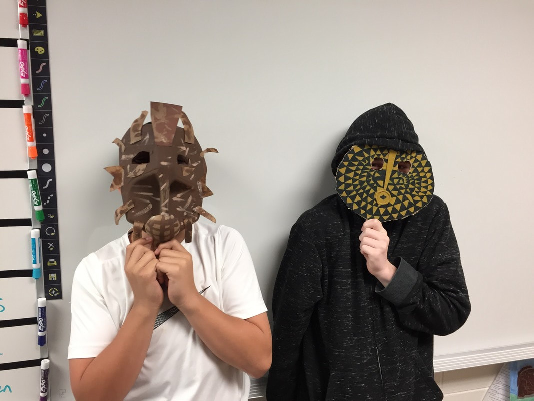
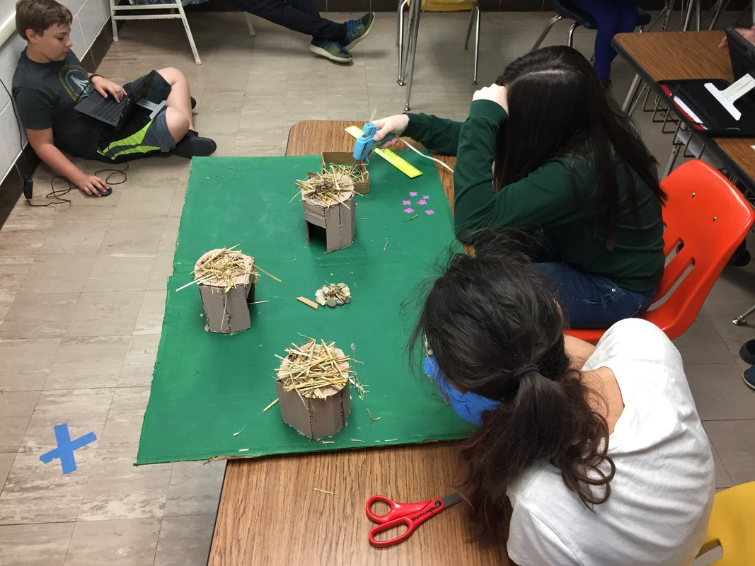
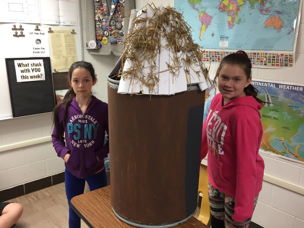
| 9 Africa |
| 10 Middle East |
| 11 Australia and Oceania |
| 12 Southeast Asia |
Here is the History of the World in just 7 short minutes
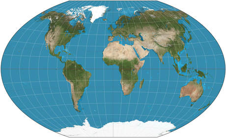 Winkel-Triple Map Projection
What Map projection is best? There are so many! Mr. Henningsen's class loved the Winkel-Tripel (probably because it sounds funny), we learned the AuthoGraph is the most accurate one available but the Mercator is the most common.
Check out this link to learn more...
http://geoawesomeness.com/best-map-projection/
